Geneva | Reuters — The El Nino weather pattern, a phenomenon associated with extreme droughts, storms and floods, is expected to strengthen before the end of the year and become one of the strongest on record, the United Nations’ weather agency said Monday.
The World Meteorological Organization (WMO) said this El Nino was already “strong and mature” and the biggest in more than 15 years.
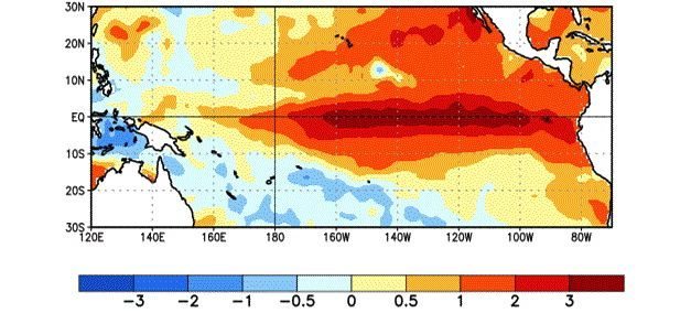
The phenomenon is driven by warm surface water in the eastern Pacific Ocean, and this time three-month averages will peak at more than 2 C above normal, putting this El Nino in the same league as those seen in 1972-73, 1982-83 and 1997-98, the WMO said.
Read Also
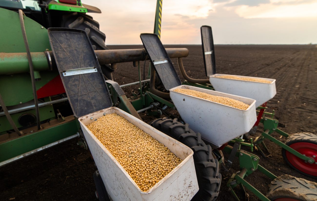
CBOT Weekly: USDA predicts declines in planting intentions
Declines in projected planting intentions for 2026/27 were not as big as the market expected, after the United States Department of Agriculture released its estimates on March 31. The USDA also issued its quarterly grain stocks report with stocks for soybeans bigger than anticipated, while those for corn were smaller and wheat virtually matched the average trade guess.
“Right now we say we think it’s really going to be one of the three strongest ones, it may be one of the two, that we don’t know yet. But definitely it’s already a very strong one,” WMO secretary-general Michel Jarraud told a news conference.
He said the world was better prepared for this El Nino than before, and the worst-affected countries were planning for the impact on agriculture, fisheries, water and health, and implementing disaster management campaigns to save lives and minimize economic damage.
“However, this event is playing out in uncharted territory. Our planet has altered dramatically because of climate change, the general trend towards a warmer global ocean, the loss of Arctic sea ice and of over a million sq. km of summer snow cover in the Northern Hemisphere,” Jarraud said.
“So this naturally occurring El Nino event and human-induced climate change may interact and modify each other in ways which we have never before experienced. Even before the onset of El Nino, global average surface temperatures had reached new records. El Nino is turning up the heat even further.”
Heatwaves would be hotter and more frequent and more places would be at risk of flooding, Jarraud said, while the most severe storms — equivalent to Category 4 and Category 5 hurricanes — would occur more often.
In addition, rising sea levels mean tsunamis and storm surges will have greater reach and inflict more damage when they hit land, Jarraud said.
El Nino conditions normally reach maximum strength between October and January, then persist through much of the first quarter.
“We anticipate that the El Nino will peak over the next few months and will progressively — when we go towards May, June, July, when we go to the second quarter of next year — will go more towards neutral conditions,” Jarraud said.
— Tom Miles is chief correspondent at Reuters’ Geneva bureau.