Forecast issued March 4 covering March 4 to 11, 2026
Highlights
- As is typical during the transition toward spring, medium-range forecasting becomes more challenging
- For Alberta, a cold front on Sunday and Monday could bring light snow, with a chance of more snow in the south
- Saskatchewan and Manitoba can expect a mix of sun and cloud over the weekend with daytime highs ranging from -5°C to 0°C and light winds
- Still few signs of spring warmth
Overview
Read Also

Prairie forecast: All aboard the temperature rollercoaster
A series of lows, and the cold and warm air masses that come with them, will make for a temperature rollercoaster on the Prairies.
We’ve experienced a week of notable temperature swings across the Prairies as a generally northwesterly flow remains in place. However, this is not the classic deep winter pattern that draws frigid air straight from the Yukon into southern Manitoba.
Instead, the flow has been oriented from northwestern Alberta southeastward into central Manitoba. That subtle shift in trajectory has created a pronounced divide in temperatures across the region. Communities north of this corridor have been dealing with below-average readings, while areas to the south continue to see milder, above-normal conditions.
More weather coverage: Winter precipitation below normal in southern Prairies
At the start of this forecast period, Arctic high pressure is firmly established over the northern Prairies, while an upper ridge is positioned over the western United States. The interaction between these two features is producing a westerly to slightly northwesterly flow across much of the region. The outcome is a strong south-to-north temperature gradient. Northern areas are seeing daytime highs stuck in the -20°C range, while southern communities are reaching 5°C. That’s a significant contrast and a reminder that winter still has a firm grip on parts of the region.
As is typical during the transition toward spring, medium-range forecasting becomes more challenging. Model guidance is hinting at a somewhat active pattern ahead, but the dominant northwesterly flow appears likely to persist. If that scenario holds, the bulk of the Arctic air should remain north of most regions, limiting the chance and duration of any early spring cold spells in southern areas.
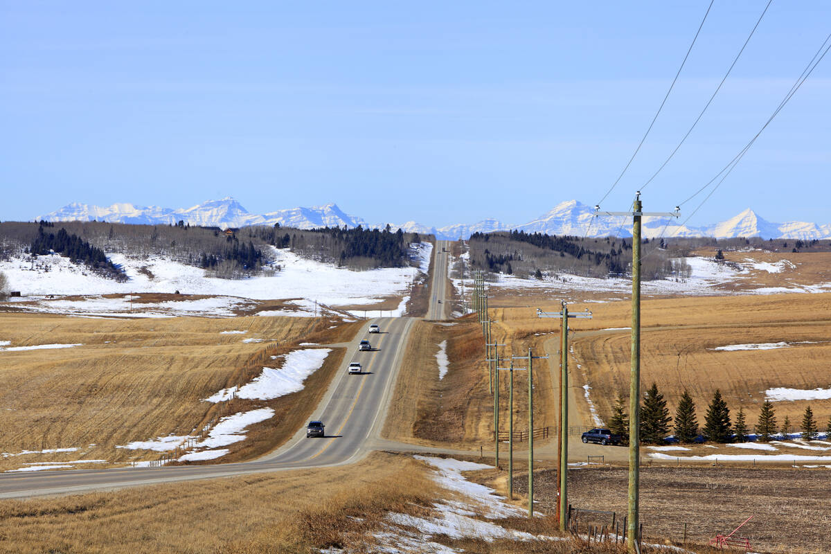
Alberta
Spring forecasting always brings added uncertainty, and the presence of a weak northwesterly flow lowers confidence slightly in the seven-day outlook. Current models show Arctic high pressure dominating northern Canada while an upper ridge strengthens over the northwestern United States. The back and forth influence of these two systems will determine where the dividing line between mild and cold air sets up across the province.
North of the frontal boundary, expect mainly sunny skies and colder conditions with daytime highs near -10°C. South of that boundary, skies will be sunny to partly cloudy, and temperatures will climb into the 5°C to 10°C range.
As we head into the weekend, the overall pattern begins to shift. A strong low-pressure system is forecast to track across the southern Arctic, pushing a cold front southward late Sunday into Monday. This front will bring some light snow, with accumulations generally modest.
Southern Alberta could see slightly higher totals if a secondary low develops along the boundary. Current guidance suggests that such a feature may briefly intensify over southern Alberta before quickly tracking east, delivering a short-lived but more focused burst of snow.
Behind the front, temperatures are expected to trend back toward near- to slightly below-average values, with the northwesterly flow once again becoming the dominant feature.
Saskatchewan and Manitoba
These provinces begin the forecast period positioned between Arctic high pressure to the north and an area of low pressure over the central United States. This setup typically results in partly cloudy skies and near-average temperatures. Extreme southern regions may see light snow, or even a brief period of freezing rain, depending on the exact path of the U.S. system.
More weather coverage: How Earth evens out the energy input
Over the weekend, Saskatchewan and Manitoba are expected to sit between larger systems, giving relatively quiet weather. Expect a mix of sun and cloud with daytime highs ranging from -5°C to 0°C. Winds should remain light, making conditions feel more manageable despite the cooler readings.
Late in the weekend, attention shifts westward as low pressure is forecast to develop over southern Alberta. If this system forms as projected, it will move quickly across southern Saskatchewan and Manitoba. At this point, the most likely outcome appears to be a fast-moving band of snow capable of producing around 5 cm of accumulation in affected areas.
Looking further ahead, there are still few signs of sustained spring warmth. While brief mild spells are possible south of the northwesterly flow boundary, a consistent move toward above-average temperatures does not yet look likely.