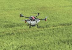

Are drones the next big thing in scouting technology, or the latest toy that will be forgotten in a few years?
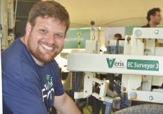
Greg Adelman, owner of Crop Command Agronomy at Southey, Sask., says UAVs provide researchers with a great tool for assessing small research plots, but when it’s necessary to cover thousands of acres, they can’t deliver the scale and efficiency needed.
“The biggest fail that drones will have in agriculture is scaleability and efficiency because if you’re only able to fly 300 feet it’s going to take 45 minutes to two hours to fly 320 acres,” says Adelman.
Read Also
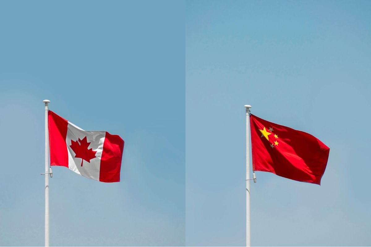
Ask a Lawyer: What the Canada-China trade deal means for farmers
A Canada-China preliminary trade agreement reduces tariffs on canola seed, canola meal and peas, but some tariffs remain unchanged, leaving gaps for producers.
“If I was an orchard or vineyard agronomist that might be okay, but I look at 60,000 to 70,000 acres throughout the year. If I can only do 320 acres every couple of hours, I’m not going to get anything done.”
Adelman began using drones four years ago, but has switched to manned aircraft for most applications.
“Instead of covering, maybe 1,000 acres a day with a drone, I can cover 20,000 acres with an airplane.”
He says that new cameras and technology can magnify up to 10 times that 20,000 acres.
“The resolution is good enough, and the plane doesn’t cost that much more than a drone when you factor in your time to drive to the farm and back, and actually fly the drone yourself.”
Adelman says it comes down to understanding what resolution you need and choosing the best equipment to provide it.
“Does it make sense to take a plane to go and fly a 10-acre parcel or does it make more sense to send out a multi-rotor drone? Probably if it’s that small, the drone is a better choice.”
Spotting equipment error
Adelman only uses aerial imagery for specific applications for some of his clients. They include assessing potential for herbicide drift, preparing prescription maps for fungicide applications or detecting unseeded or unfertilized areas due to equipment failure.
In one case Adelman was able to identify areas initially thought to have compaction problems that were actually where a custom fertilizer applicator had an equipment malfunction.
“When you first looked at the image, it looked like compaction where the equipment tires were, but when I measured it with farm management software, it was actually a six- to seven-foot wide area, which is way wider than any tire.”
Adelman says the applicator had used a boom floater and the hoses were plugged right behind the two tires, so about 20 per cent of the fertilizer was not being applied.
“The custom applicator denied there was a problem, but the image we provided to the customer showed exactly what happened and I could prove it because all the triangles in the field where the product wasn’t turned on looked exactly the same as the areas where we said there was no application.”
Spotting herbicide drift
With new herbicides that could damage crops using different herbicide-resistant systems, drift assessments could become more important. Adelman says that with the aerial imagery collected by drones, planes or satellites, it’s possible to do these assessments without having to physically go out to the field.
“We can determine herbicide drift in the office,” says Adelman. “I can tell pretty much exactly which acres are going to be affected by drift without even looking at the field.”
He is also beginning to use aerial technology to prepare prescriptions for fungicide applications.
“In the past we have been working with on/off prescriptions of fungicides, and this year we’re going to be doing a larger project doing on/off fungicide on lentil production,” Adelman says. “We’re doing it on a second application, and only applying to areas of the field that need a fungicide because in a lot of cases there might be areas of no crop, or drowned out or weedy areas that you don’t want to spray with a fungicide because it’s costly, and shouldn’t be sprayed for resistance-management purposes.”
Crop insurance assessments
The technology could also be useful for crop insurance. Adelman used imagery to prepare unseeded acreage reports on his own family’s farm.
“On average there were 32 unseeded acres per field, and it was easy to do the assessment with the adjuster when we had the image and the actual acres,” he said.
Other potential uses include measuring overlap using remote sensing, so farmers can decide if the investment in sectional control on their seed drill is worthwhile.
“I’m not sure on the cost but if a farmer flew one field for $2,000, it might give a good picture as to how much money having sectional control could save ,” says Adelman.
He says the technology will become more and more affordable.
“It’s like anything, the more we get to the scale where there’s more of this happening, the more cost-effective it will get, and I think it can get to the point where for two dollars an acre you could have an image and a prescription every time you need it,” says Adelman.
“I see this being used in the future for getting a better picture of what’s happening in a field, and even for farm surveillance. So if you want to make sure that your hired help is checking fertilizer and seed runs, we can see that in the field in season, so you could check on staff efficiency that way.”
Adelman does use a UAV in some cases, preferring the DJI Phantom series which has an integrated camera and which he believes gives some value for growers who might decide to invest in a drone themselves.
“It’s basically like a GoPro and they can take nice pictures of their farm or their machinery,” he says. “That’s the only type of drone that I would recommend for growers or agronomists because it’s inexpensive and they might see value in the pictures that they can get out of it.”